|
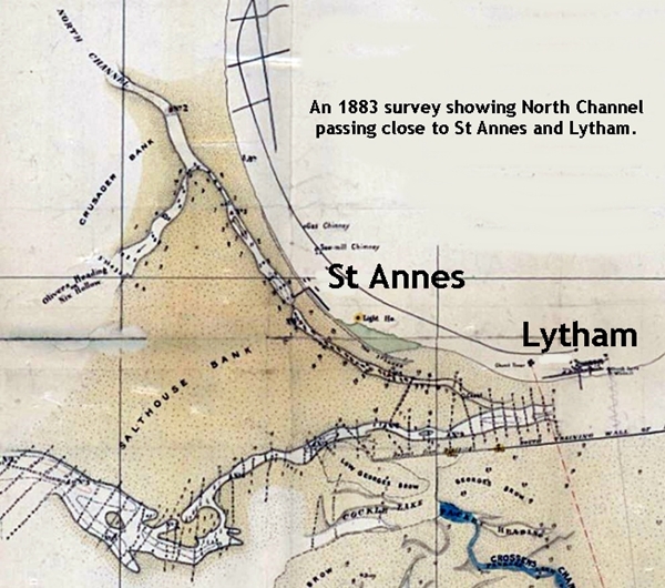
Schemes to improve navigation of the River Ribble between Preston and Warton started
in the early 1800s but the largest began in the 1880s at the estuary. A wide,
deep channel was constructed (1880s-1900s) out to the Irish Sea. The training walls of
the channel were marked by posts which can still be seen from Lytham.
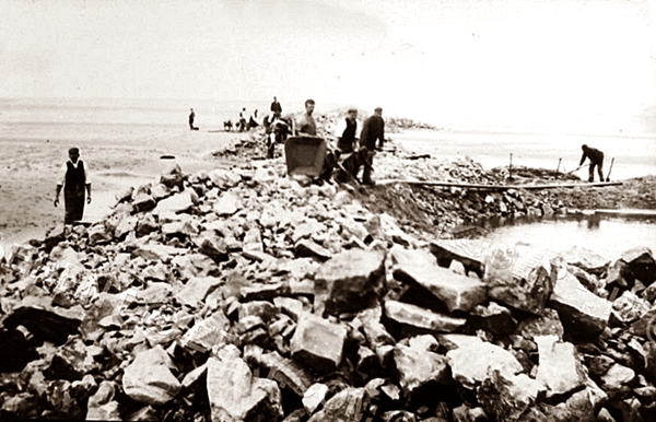
Constructing the training walls of the new channel c1900.
The Consequences for Lytham and St Annes.
The consensus of opinion is that the training walls caused the following
problems for Lytham and St Annes. The North channel silted up so by the early
1900s steamers carrying passengers could no longer call at either St Annes Pier or
Lytham Pier. The height of the beach at St Annes rose dramatically over the ensuing 30
years, robbing it of the scour of the tide and leaving the pier high and dry. The
lifeboat could no longer be launched at St Annes and this station closed.
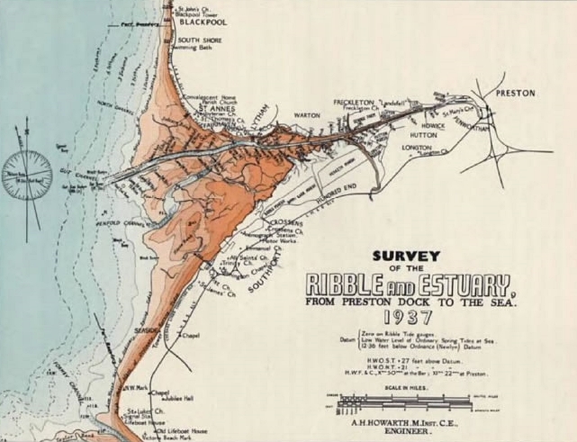
From the 1930s silt deposits devastated the beaches at Lytham and Ansdell,
spreading to Fairhaven and St Annes in the 1980s. When the River Ribble was straightened
the land along the banks was reclaimed for farming which involved the planting of
Spartina grass (Spartina townsendii). This highly invasive plant went on to colonise the silt
on Lytham Beach in the 1940s and is still spreading along the coast.
All these problems have also blighted the Southport coast.
|
