|
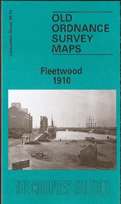
Fleetwood Old Ordnance Survey Map
1910
Lancashire Sheet 38.13; intro by Martin
Ramsbottom
Map
Publisher: Alan Godfrey Maps; Facsimile of 1910 ed edition (Mar 1987)
ISBN-10: 0850540941
ISBN-13: 978-0850540949

|
This detailed map covers the town of Fleetwood. Most of the town
centre is shown and coverage extends southward to Wyre Street, westward to Cemetery
Lane.
Major features include the town centre shown in detail with all
individual buildings; Wyre Dock with sidings, fish packing sheds, warehouses etc;
North Lancashire Saw Mills, tramways with two tramcar sheds, Warrenhurst, cemetery,
The Hutments, The Mount, Pharos Place with lighthouse, North Euston Hotel, Quay,
China Clay Warehouse. Railway information includes track layout with Wyre Dock and
Fleetwood stations.
On the reverse are extracts from a contemporary commercial
directory.
|