|
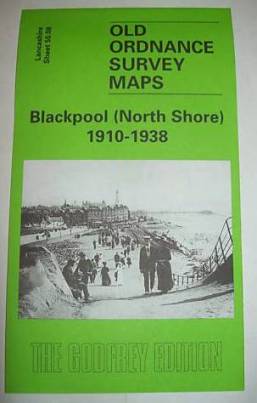
Blackpool North
Shore Old Ordnance Survey Map 1910-1938
Lancashire Sheet 50.08; intro by Alan
Godfrey
Map
Publisher: Alan Godfrey Maps
(February 28, 2006)
ISBN-10: 1841518689 ???
ISBN-13: 978-1841518688 ???
This may be incorrect as the ISBN is listed as that of a map of Watton,
Swaffham & District.
Product Dimensions: 8.2 x 4.8 x 0.1 inches

|
Two detailed maps side by side, one for 1910, the other for
1938, a fascinating opportunity to see how the area developed. Coverage runs from
Claremont Park (where the Hilton Hotel is today) northward to Lowther Avenue, and
from the coast inland to Devonshire Road.
On the earlier map development is still taking place although
features include the tramways (still two systems at the time), Gynn Inn and Uncle
Tom's Cabin By 1938 features include the Derby Baths, Savoy Hotel, Cliffs Hotel,
Boating Pool, and much more housing development. By this time the Bispham area has
become part of Blackpool.
On the reverse we include a good 1934 street directory, listing
the inhabitants for Claremont Road, Cornwall Avenue, Holmfield Road, King Edward
Avenue, Queen's Drive, Warbreck Hill Road, Warley Road, Westminster Road.
The map links up with Sheet 50.04 Bispham & Norbreck 1909 to the north,
50.12 Blackpool North Pier to the south.
|