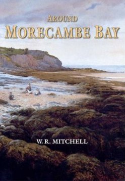
|
Around Morecombe
Bay
by W R Mitchell
Hardcover: 160 pages
Publisher: Phillimore & Co Ltd (1 Sep 2005)
ISBN-10: 1860773311
ISBN-13: 978-1860773310
Product Dimensions: 24.6 x 17.2 x 1.8 cm

|
Morecambe Bay has been described as 'a great inner sea', moody
and treacherous. An ebb tide reveals a tawny desert 120 square miles in extent.
Crossing the Sands - and the estuaries of Keer and Kent - was once part of a daring
west coast route linking Lancashire with its northern territory of Furness.
A milestone on the Cartmel peninsula gives
the distance to Lancaster 'over sands' as 15 miles, less than half that of the land
route via Kendal. The safe passage of travellers was ensured by the appointment of
guides. At the flow, fishermen from Morecambe used trawlers known as 'nobbies' and
were part of a lively coastal trade, with boats calling at various jetties.
Pleasure craft would tie up to the pier at Grange-over-Sands, where there is now a
prairie of grass. At low tide the horse-and-cart fishermen of Flookburgh and
adjacent villages would take to the sands, seeking shrimp.
Now this is done by tractors and trailers. In his inimitable and
entertaining style, the author follows the shoreline, noting features such as the
rock graves of Heysham and bird-haunted Walney Island. He traces the evolution of
Morecambe and Grange-over-Sands, the survival of Cartmel Priory following the
Dissolution and the story of Conishead Priory, a grand house that is now a Buddhist
centre.
Each area has its unique points of interest: Ulverston has a
lighthouse; at Dalton, clog irons and red earth hint at an industrial past; Furness
Abbey was one of the richest in the north country; Barrow rose from a hamlet to
become the world's biggest centre for iron and steel in Victorian times. Throughout
this fascinating and well-illustrated book, which will interest visitors and
residents alike, the bay is kept in view, sparkling with the flow and teeming with
life at the ebb.
|